
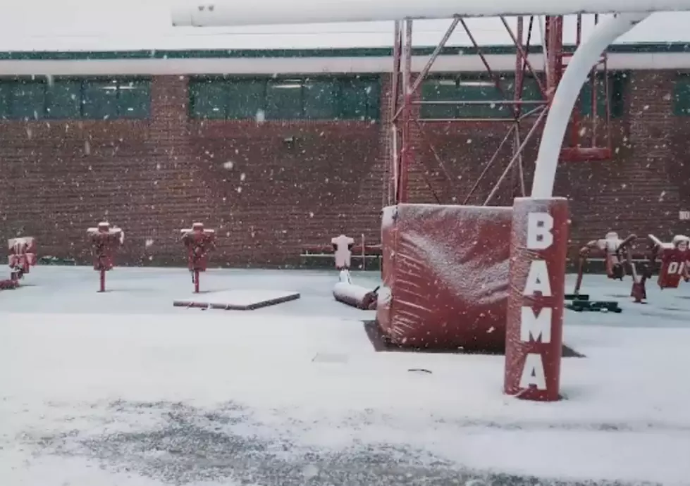
Snow Showers Possible in Alabama Tonight [VIDEO]
Portions of Alabama could see snow showers tonight and early Tuesday morning. The latest forecast from the National Weather Service calls for rain changing over to snow this evening; snow showers could begin in Alabama as early as 6 p.m.
NWS Birmingham
Little to no accumulation is expected from this bit of winter weather; however, temperatures are forecast to drop below freezing tonight which could create icing on bridges or roadways.
NWS Birmingham
The National Weather Service discusses the chance of snow in a Hazardous Weather Outlook issued this afternoon:
THIS HAZARDOUS WEATHER OUTLOOK IS FOR THE COUNTIES SERVED BY THE
NATIONAL WEATHER SERVICE OFFICE IN BIRMINGHAM.

.DAY ONE...THIS AFTERNOON AND TONIGHT.

BEHIND A STRONG COLD FRONT THIS MORNING...STRONG WINDS WILL BRING
A COLD AIRMASS INTO CENTRAL ALABAMA. THERE IS A CHANCE THAT RAIN
MAY MIX...THEN EVENTUALLY SWITCH TO ALL SNOW AFTER 6 PM FROM NORTH
TO SOUTH. SNOW SHOWERS WILL REMAIN POSSIBLE THROUGH THE
NIGHT...GENERALLY NORTH OF A LINE FROM ALICEVILLE TO CLANTON TO
AUBURN. A FEW NARROW BUT PERSISTENT BANDS COULD CAUSE ISOLATED
LIGHT SNOW ACCUMULATIONS...BUT THE LOCATION FOR THESE BANDS IS
HIGHLY UNCERTAIN.

.DAYS TWO THROUGH SEVEN...TUESDAY THROUGH SUNDAY.

A FEW NARROW BUT PERSISTENT BANDS COULD CAUSE ISOLATED LIGHT SNOW
ACCUMULATIONS...BUT THE LOCATION FOR THESE BANDS IS HIGHLY
UNCERTAIN. MOST OF THE SNOW SHOWER ACTIVITY SHOULD DIMINISH BY
NOON TUESDAY EXCEPT ACROSS THE NORTHEAST PART OF THE AREA...WHERE
IT COULD CONTINUE UNTIL TUESDAY AFTERNOON.
Temperatures will remain chilly thoughout the week; Tuesday's high is only 38 degrees, and the high temperature Wednesday is not expected to pass 43 degrees.
More From Tide 100.9


![Severe Thunderstorms and Winter Weather to Impact West Alabama [VIDEO]](http://townsquare.media/site/530/files/2016/01/image4-1.png?w=980&q=75)